ISIMAT
ISIMAT was set up in 2004 as “Ingeniería y Sistemas de Información Mirnar, Alba y Temprado, s.l.”, for design and putting on the market Geographic Information System (GIS) applied to Civil engineering and facilities management.
Since its very beggining, a continuous grown of technical assistance and project design contracts was experimented by ISIMAT, because of both reasons our team experience and market demand.
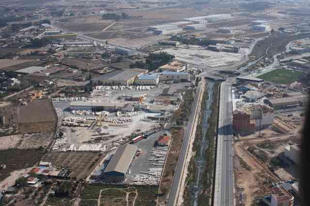
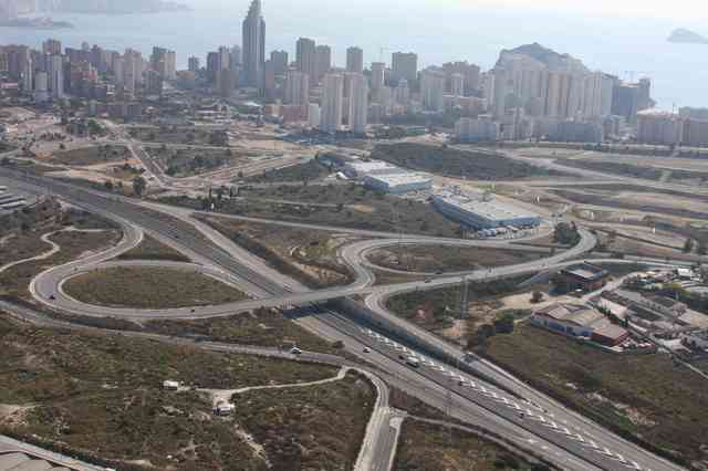
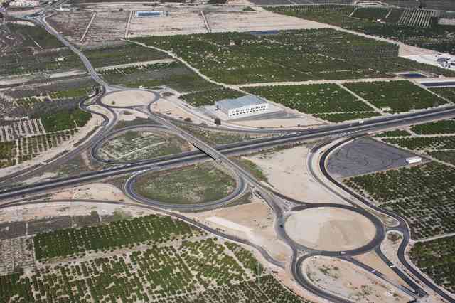
The specialisation in topography enabeled us to do survey andorthophotography. We use these pictures as graphic information in the GIS applied to urban infrastructure, flodding studies, and traffic and mobility studies.


In these nine years ISIMAT has participated in high speed railway projects in Spain and Portugal, including roads design, and Techical asistance in different kind of projects for public and private customer. ISIMAT also developped several sustainable mobility plans and traffic and mobility studies in urban planning.